

Drones to be used in Earthquake damage assessment
02/24/2015. The NAM will be using drones to assess the damage caused by earthquakes in Groningen, BNR reports.
The drones will especially be used to assess the damage to high buildings, according to Sander van Rootselaar of NAM. Without the drones, scaffolding would have to be put up around the buildings so that inspectors can get up high enough to assess the damage done to the building. This is not only expensive and a lot of work, but also less safe for the inspectors.
Read the article on the NL Times website
Related Articles
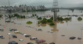
Floods : the global threat
04/16/2016. A TV documentary for the Franco-German television channel Arte
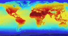
Which countries are most at risk from climate change and how can we help?
03/29/2016. How to resolve that dilemma and help these places adapt to a warming world remains among the knottiest problems facing climate financing.
A climate in crisis
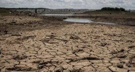
04/27/2017. How climate change is making drought and humanitarian disaster worse in East Africa.
